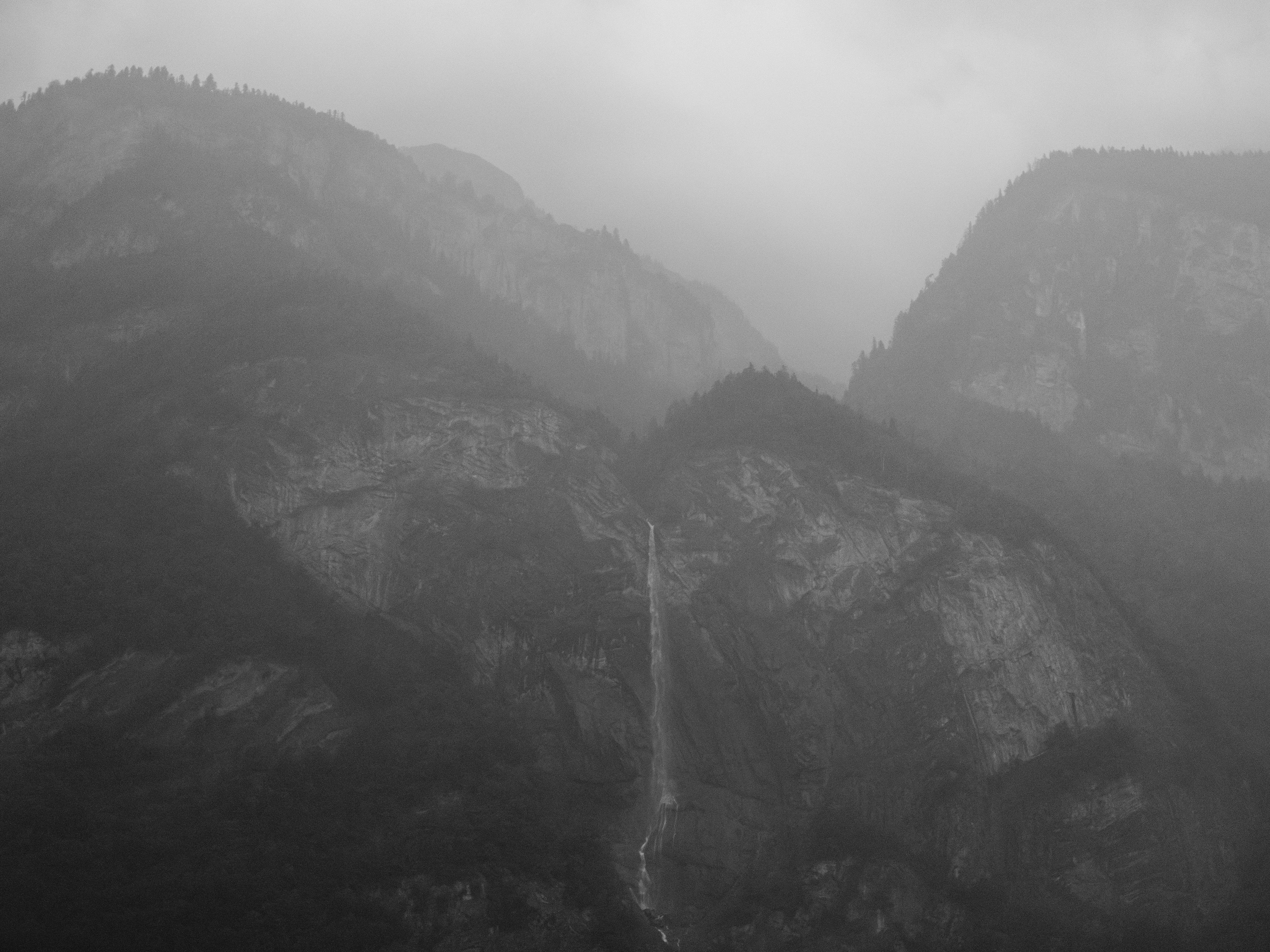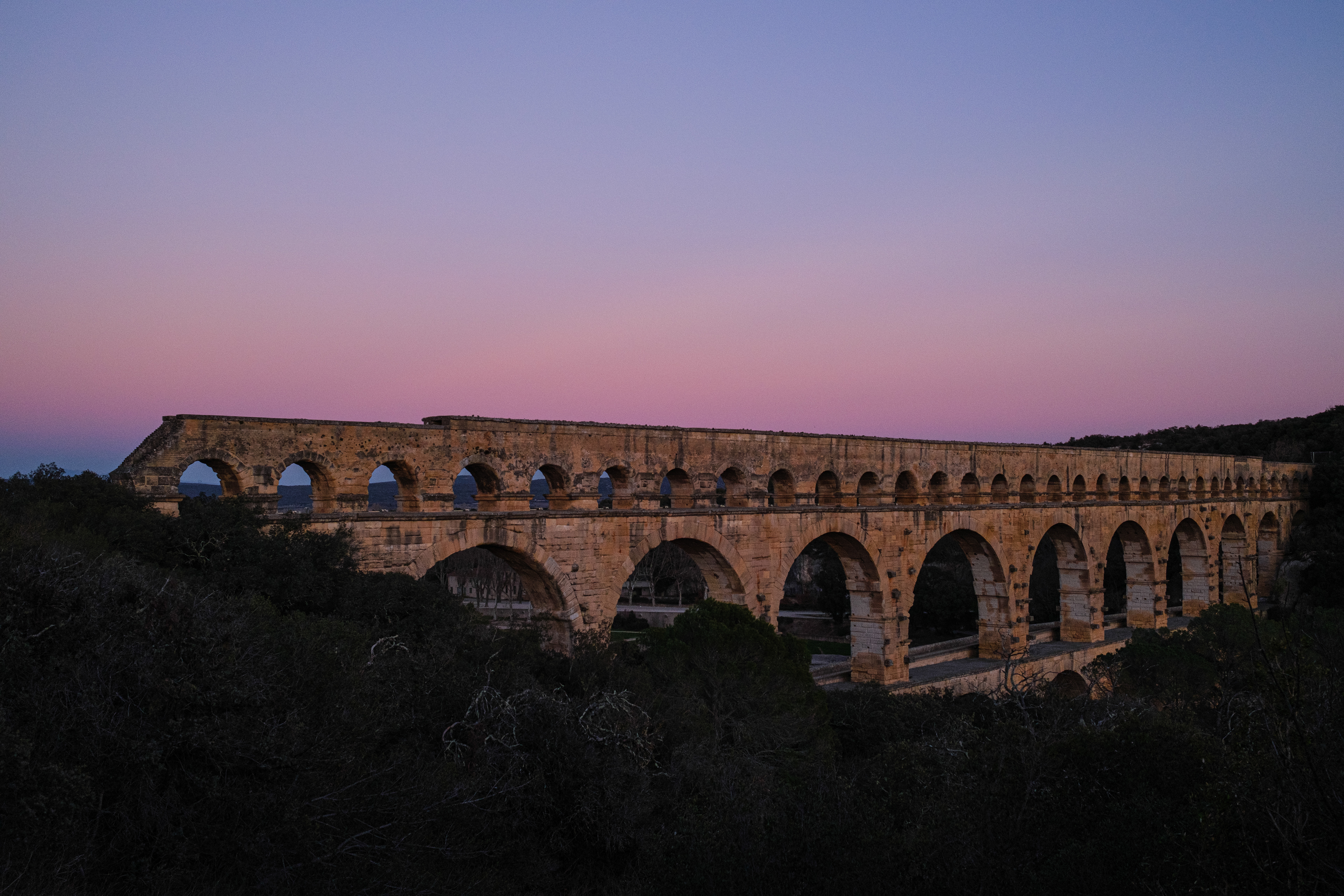
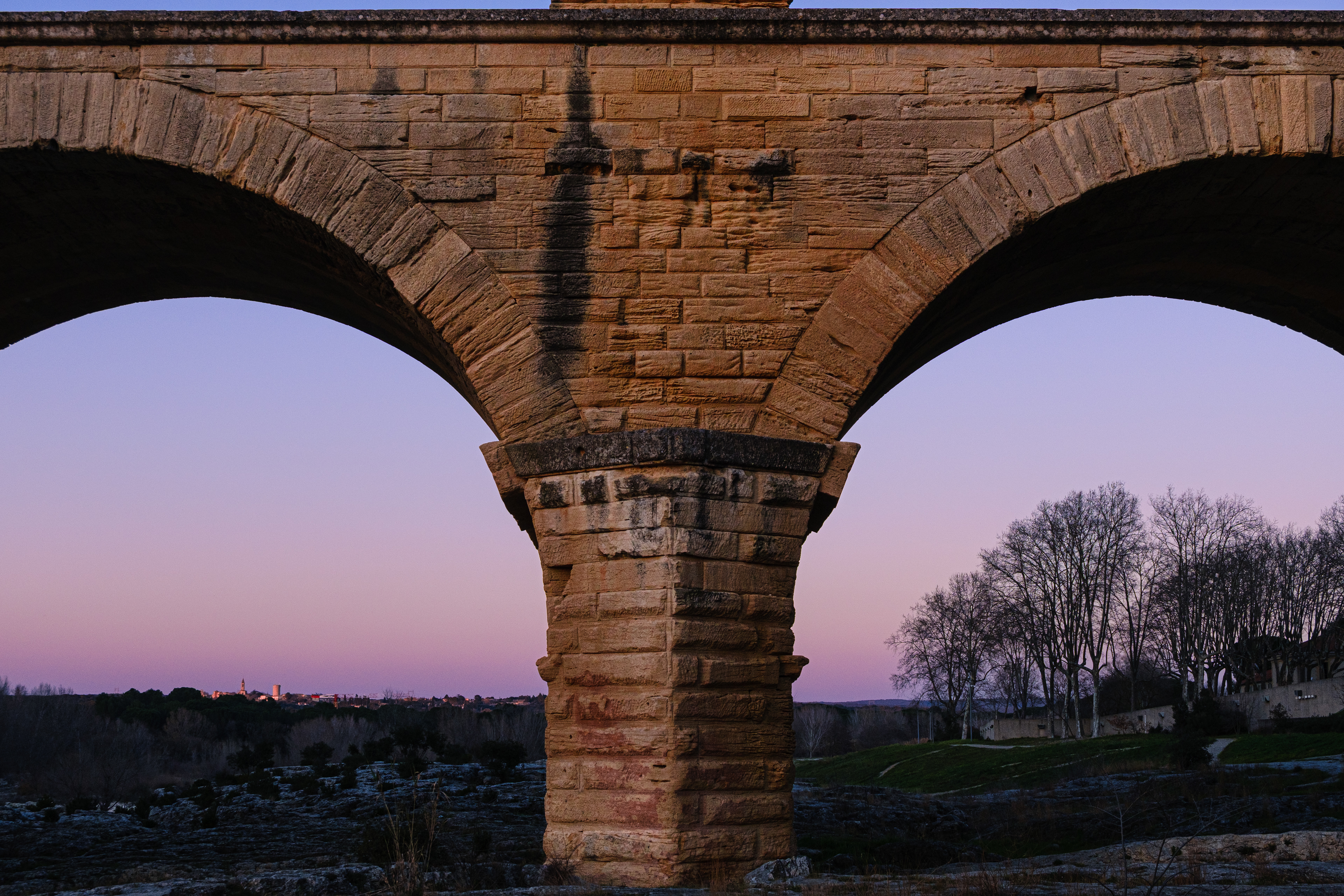
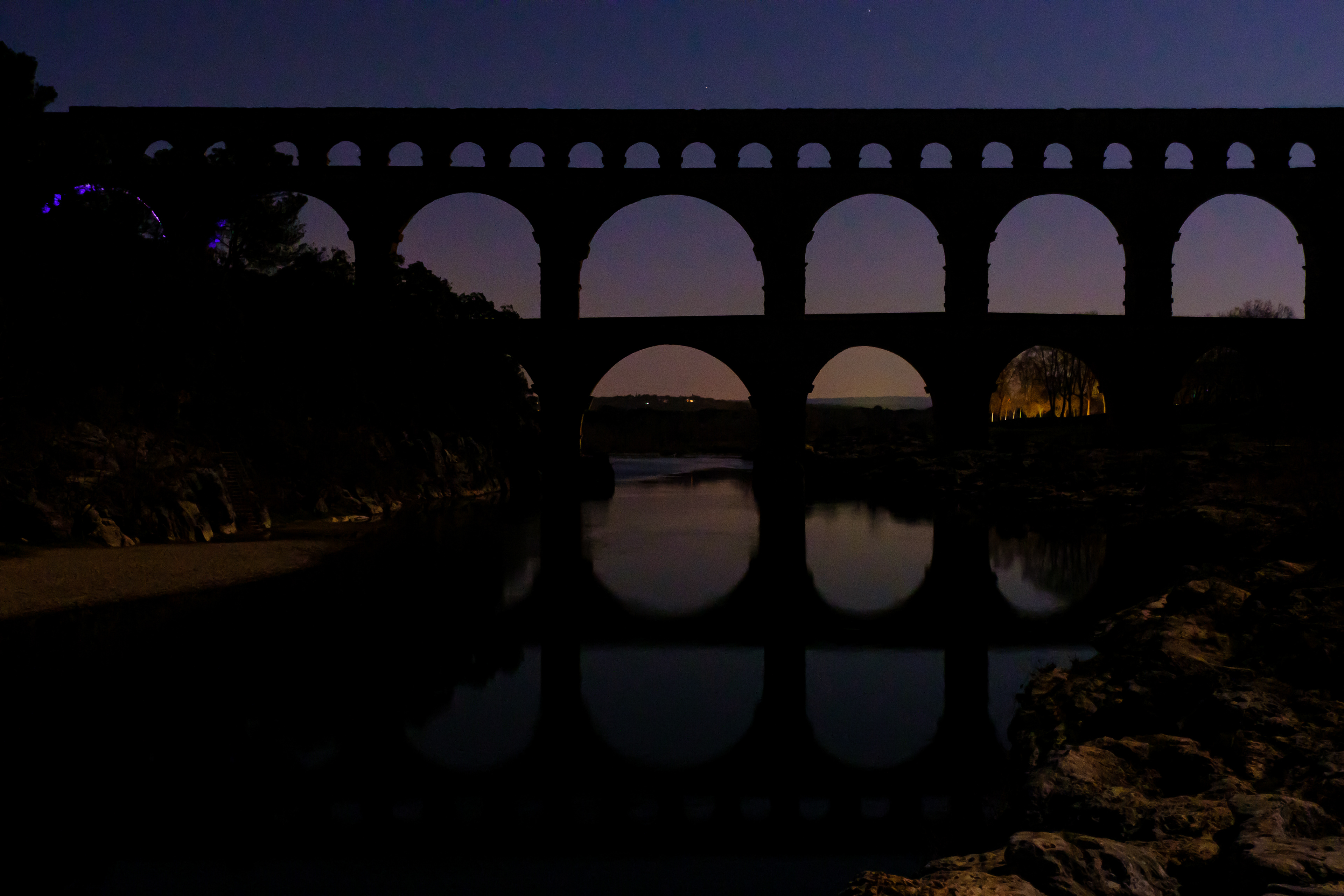
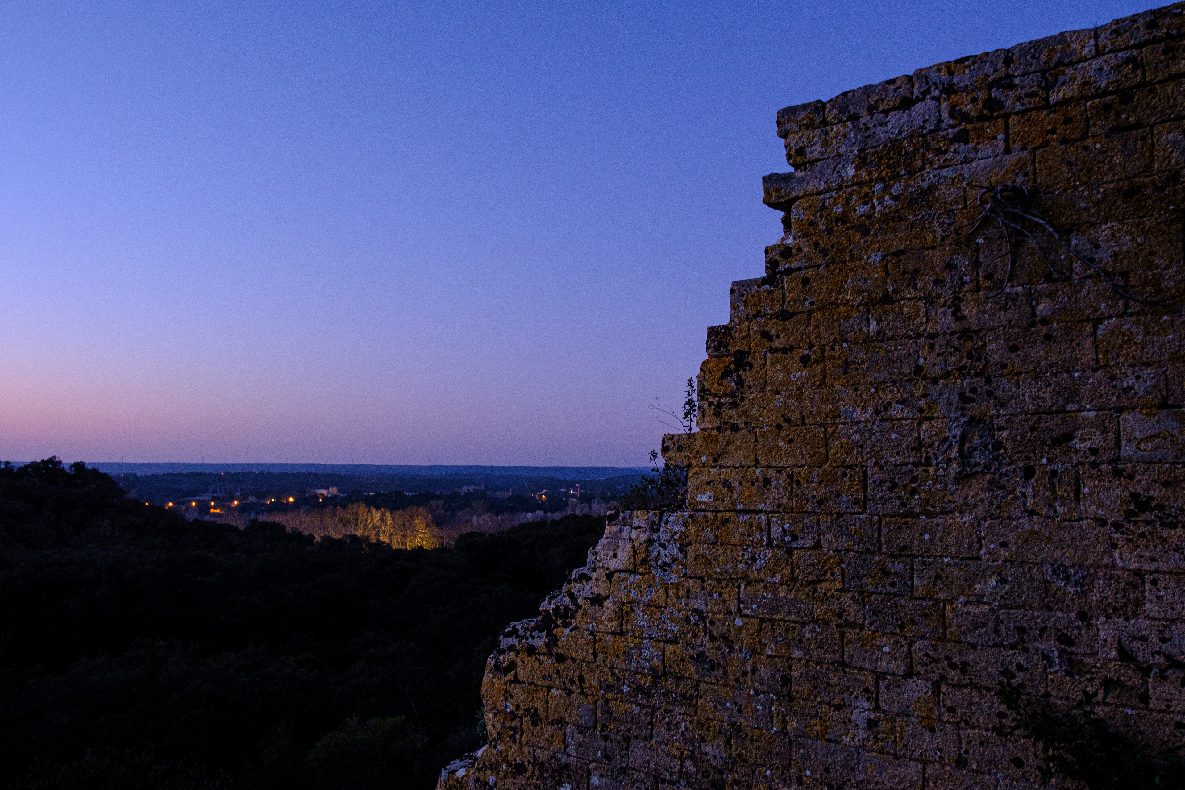
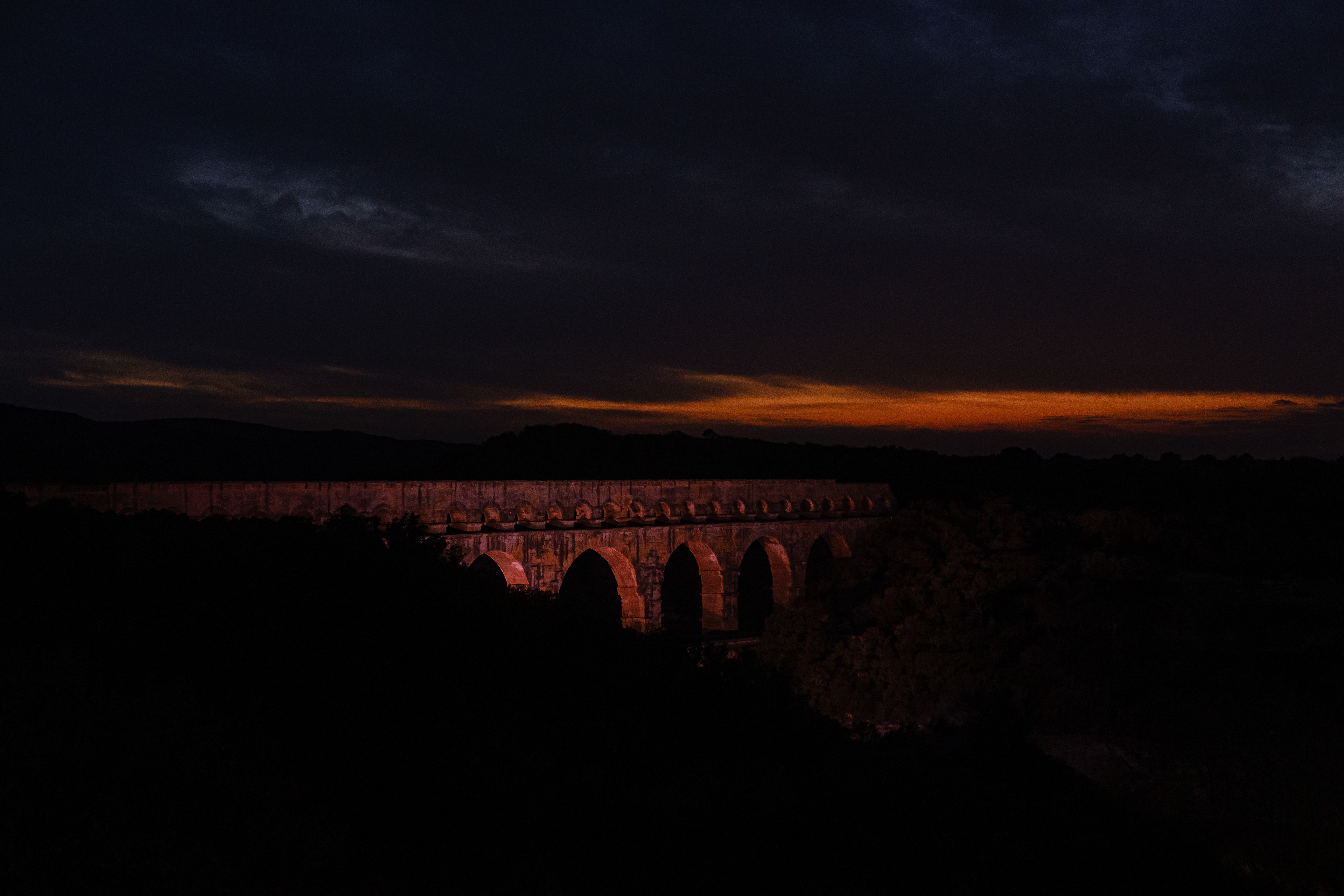
Pont du Gard, West of the Gardon River
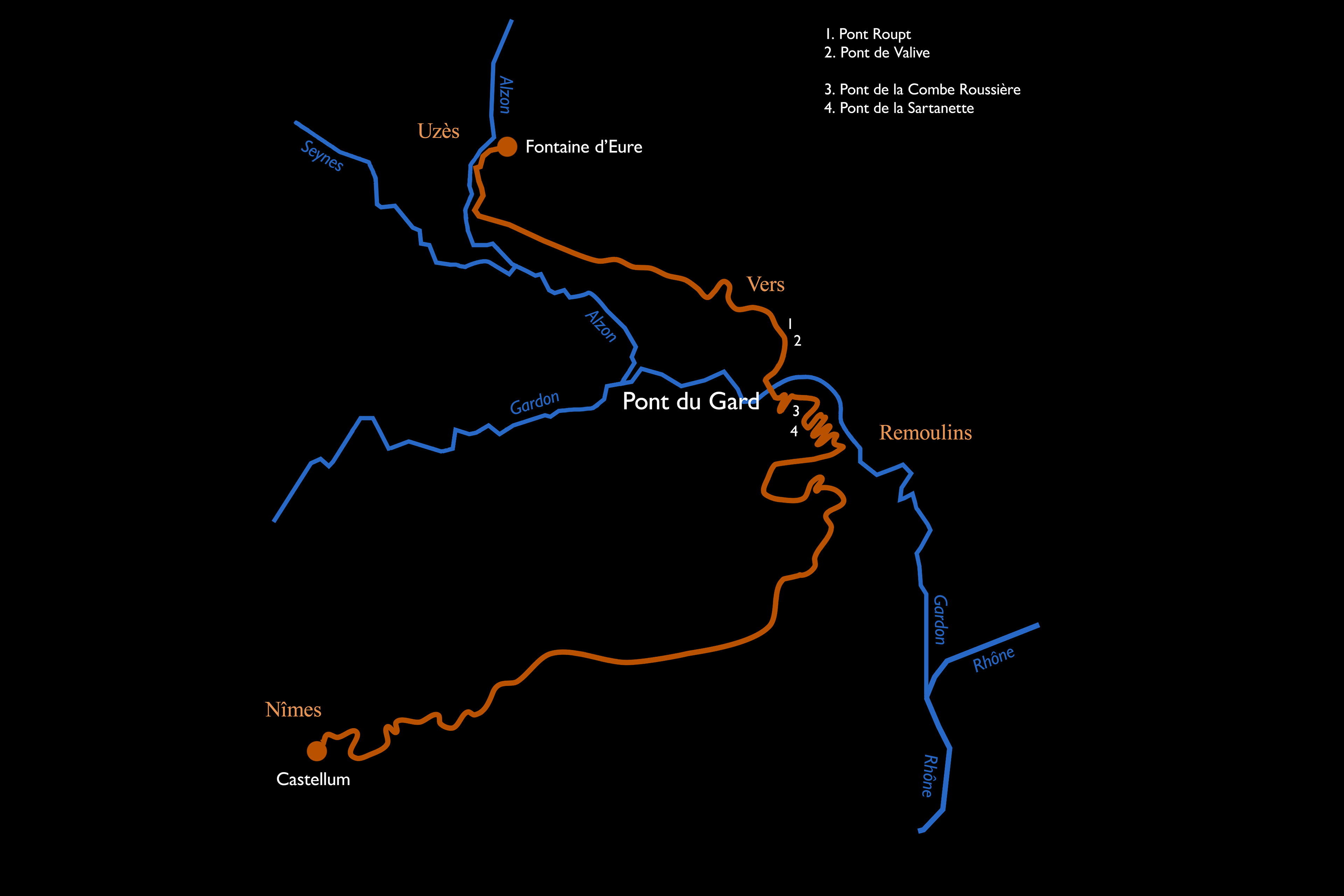
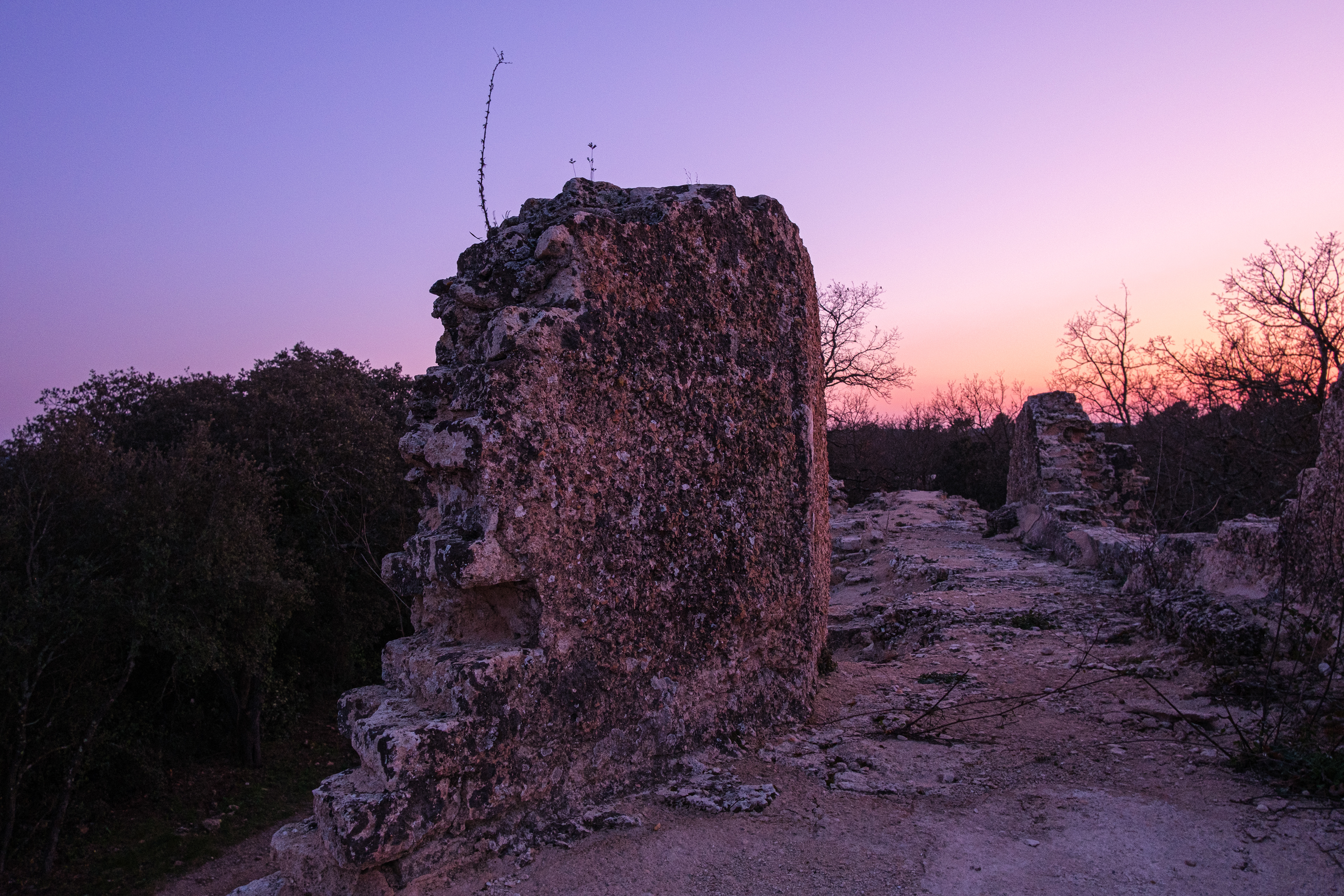
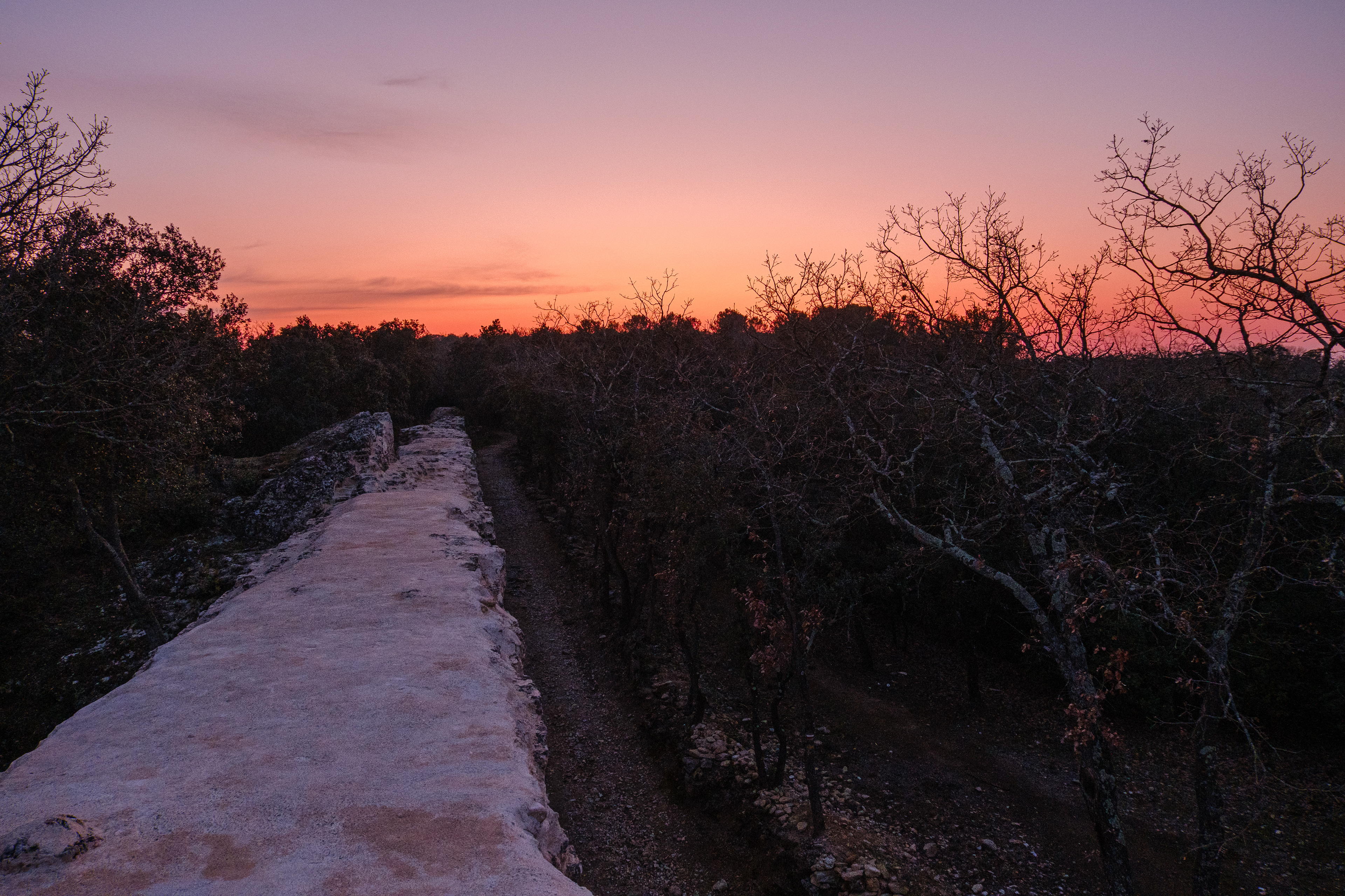
Pont Roupt (1). Towards Fontaine d'Eure, the source of the water.
Pont Roupt (1). Towards Nîmes, the destination of the water.
Pont Roupt (1). Towards Nîmes.
Pont Roupt (1). Towards Fontaine d'Eure, the source of the water.
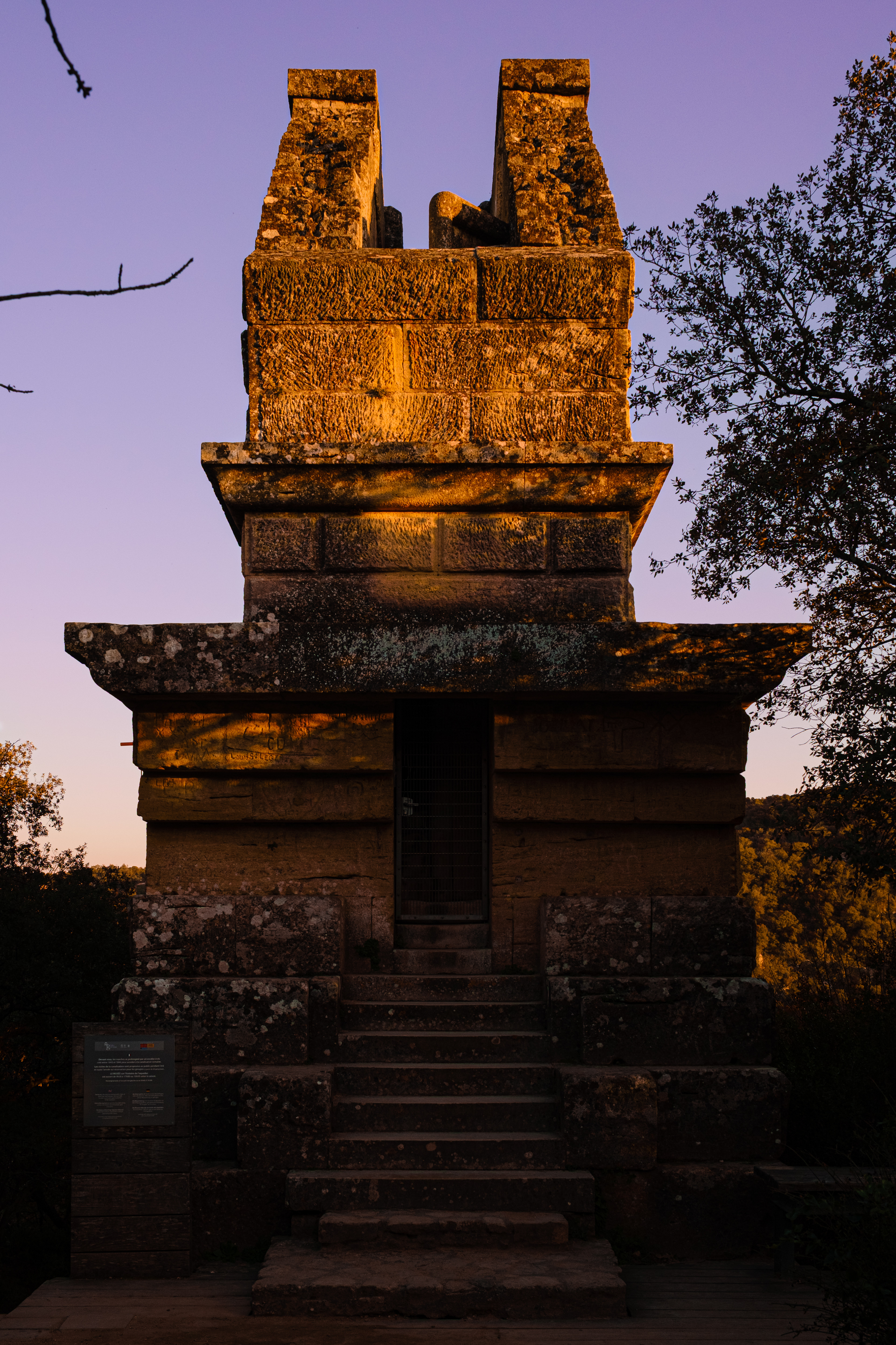
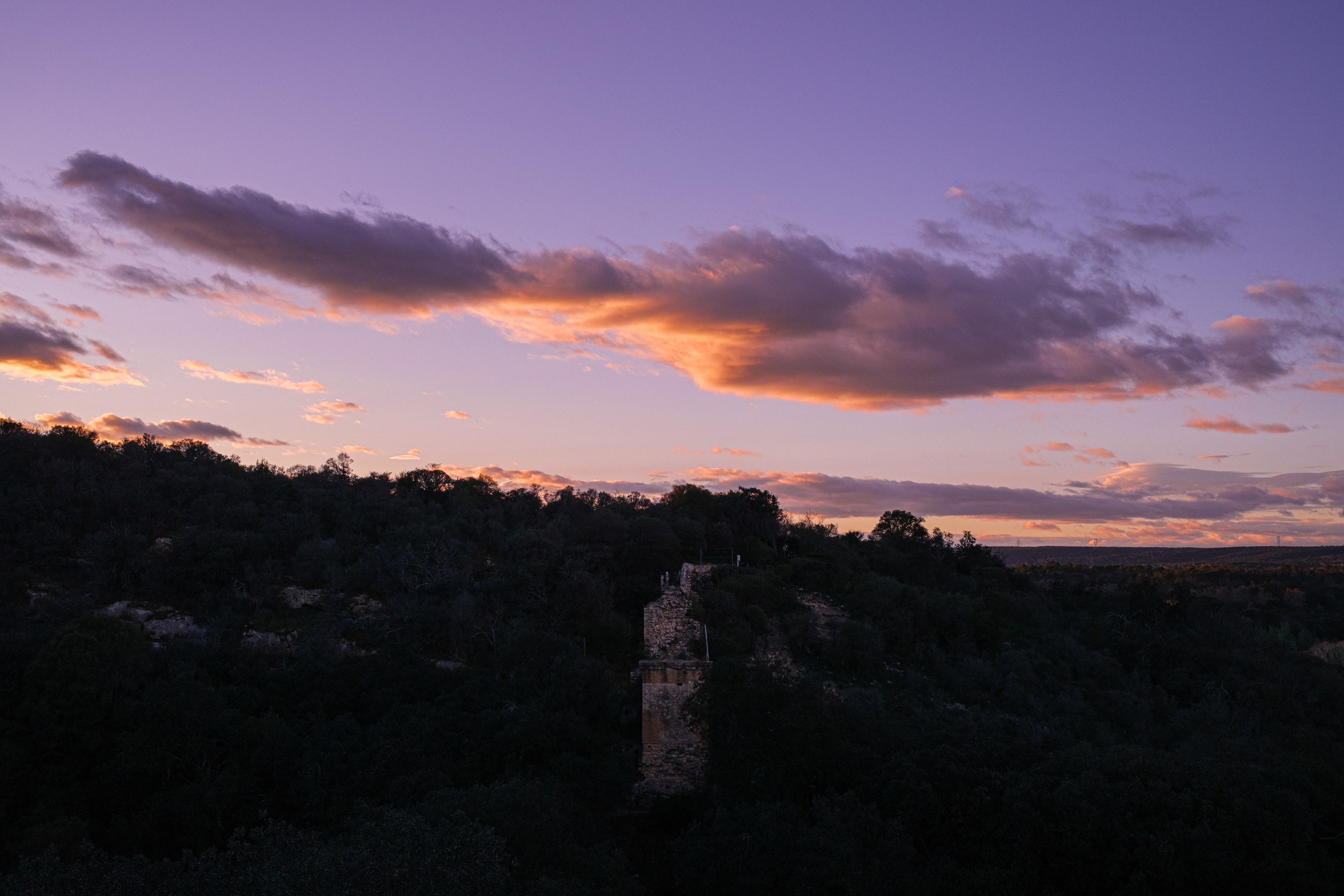
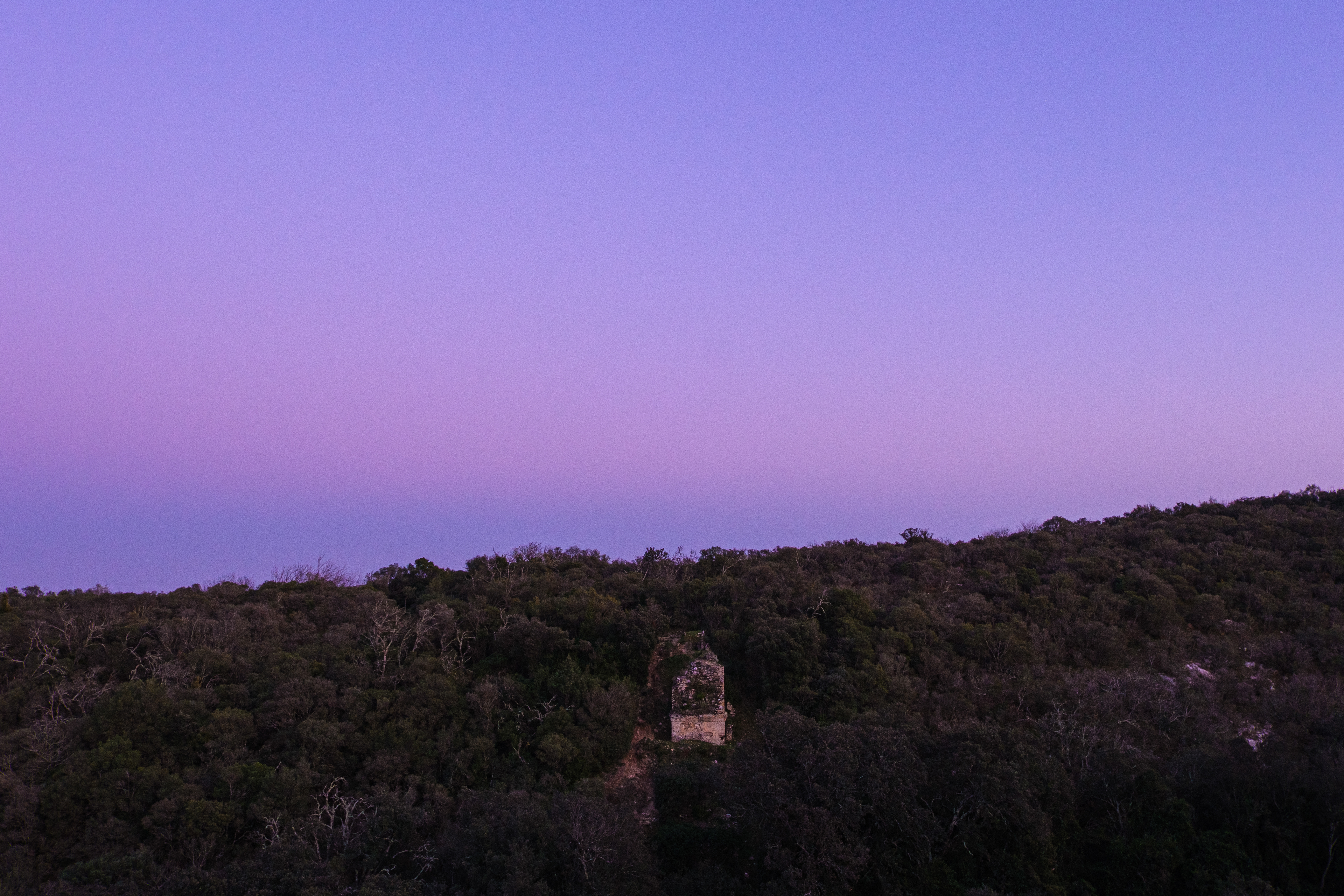
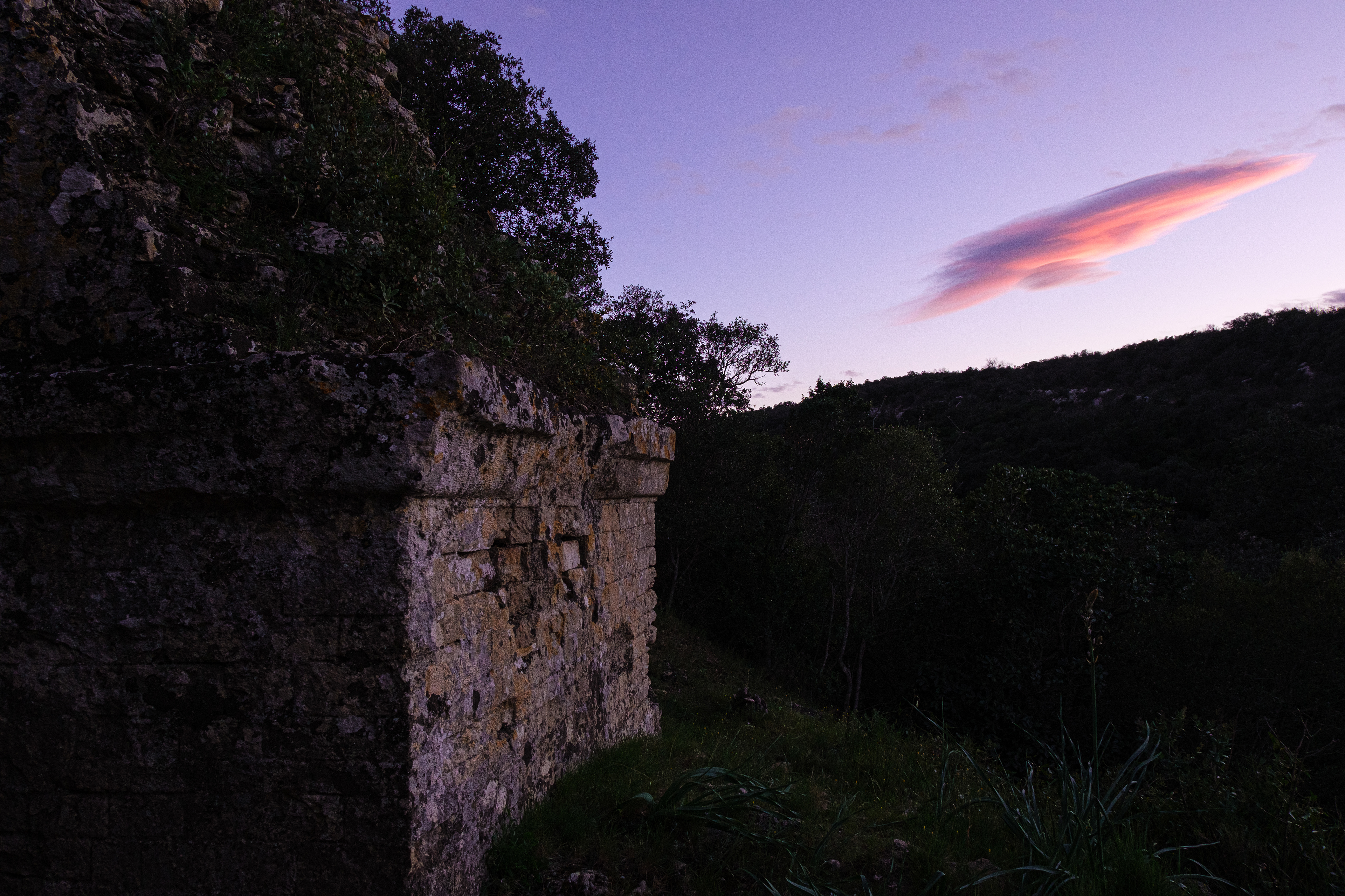
Pont de Valive (2).
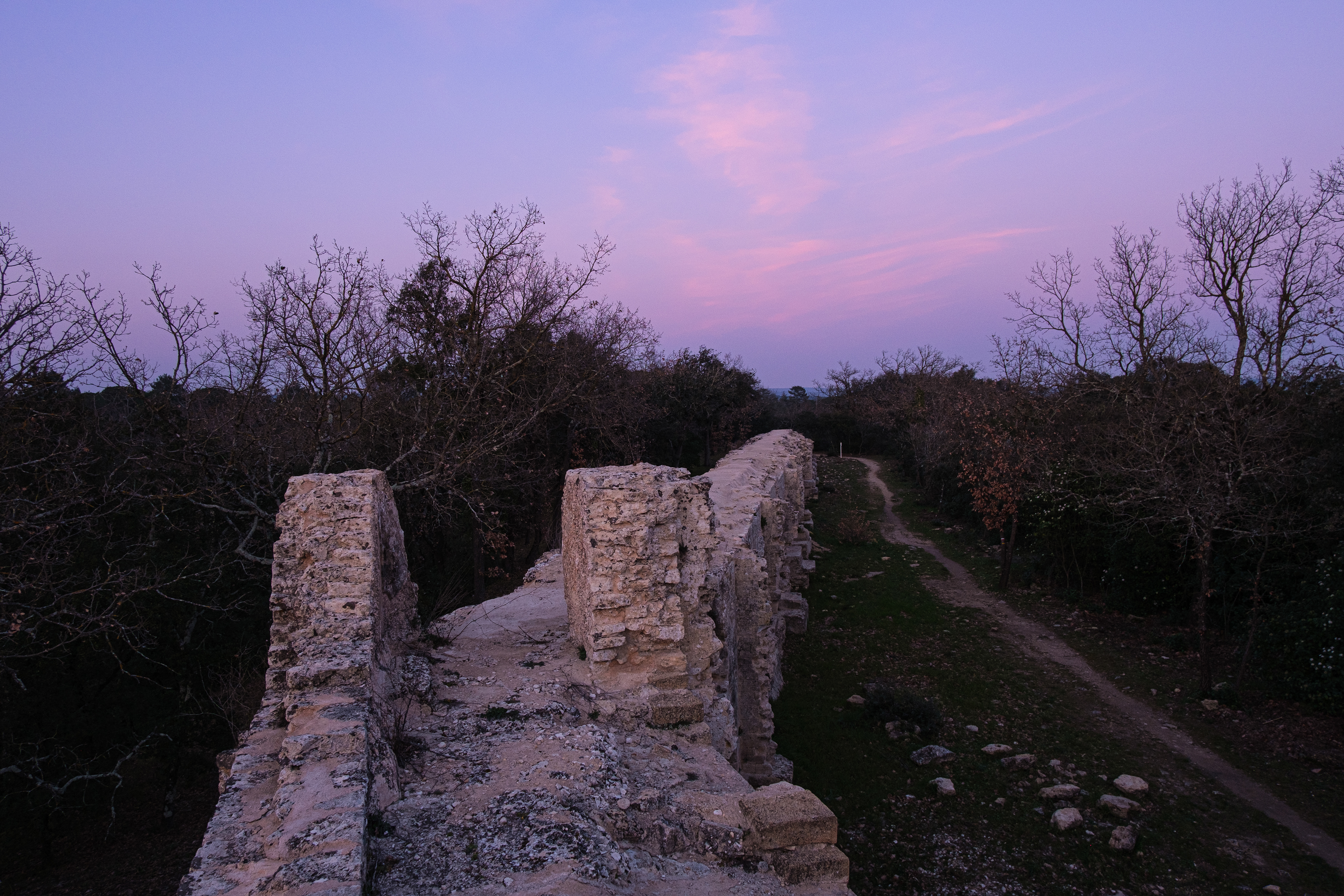
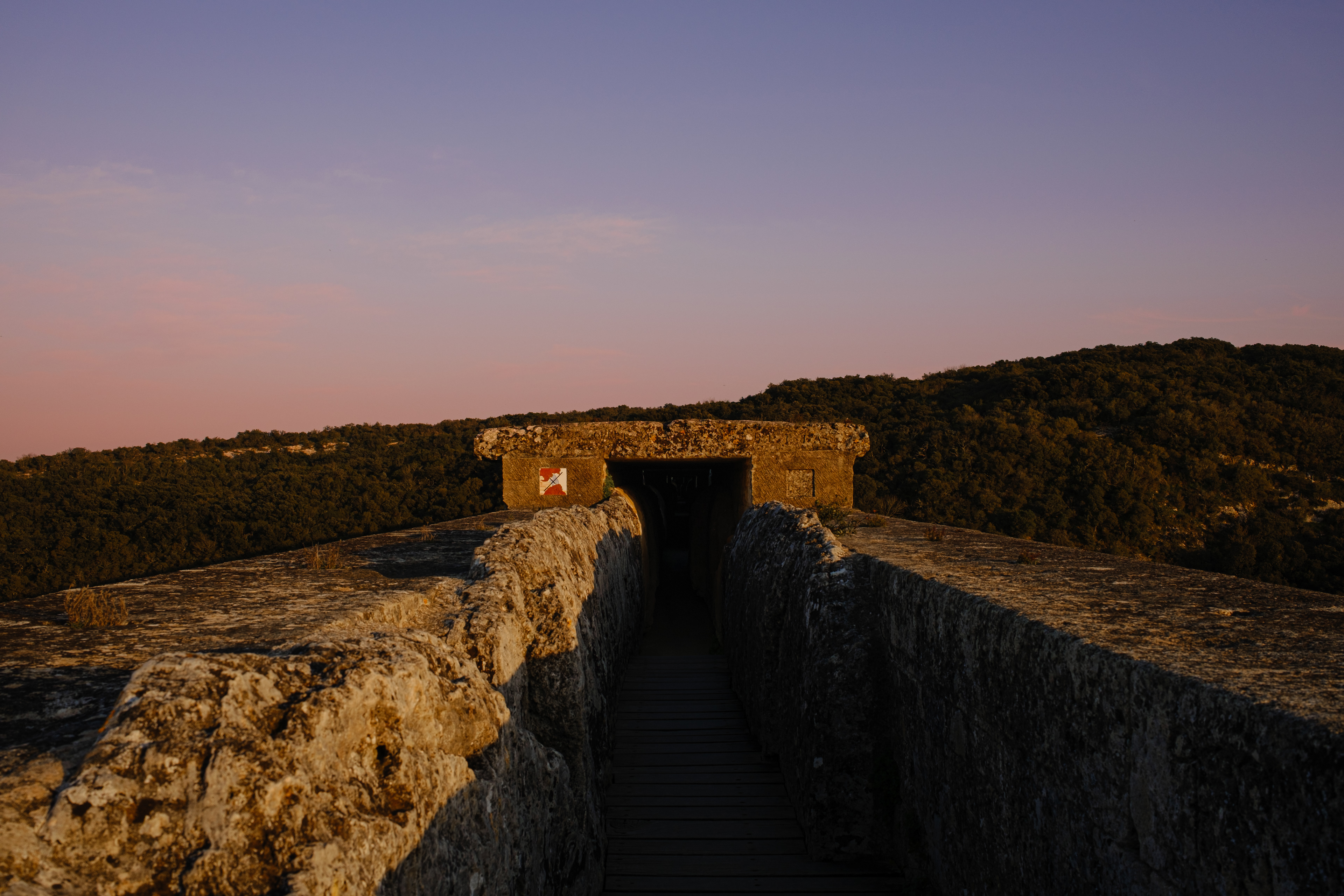
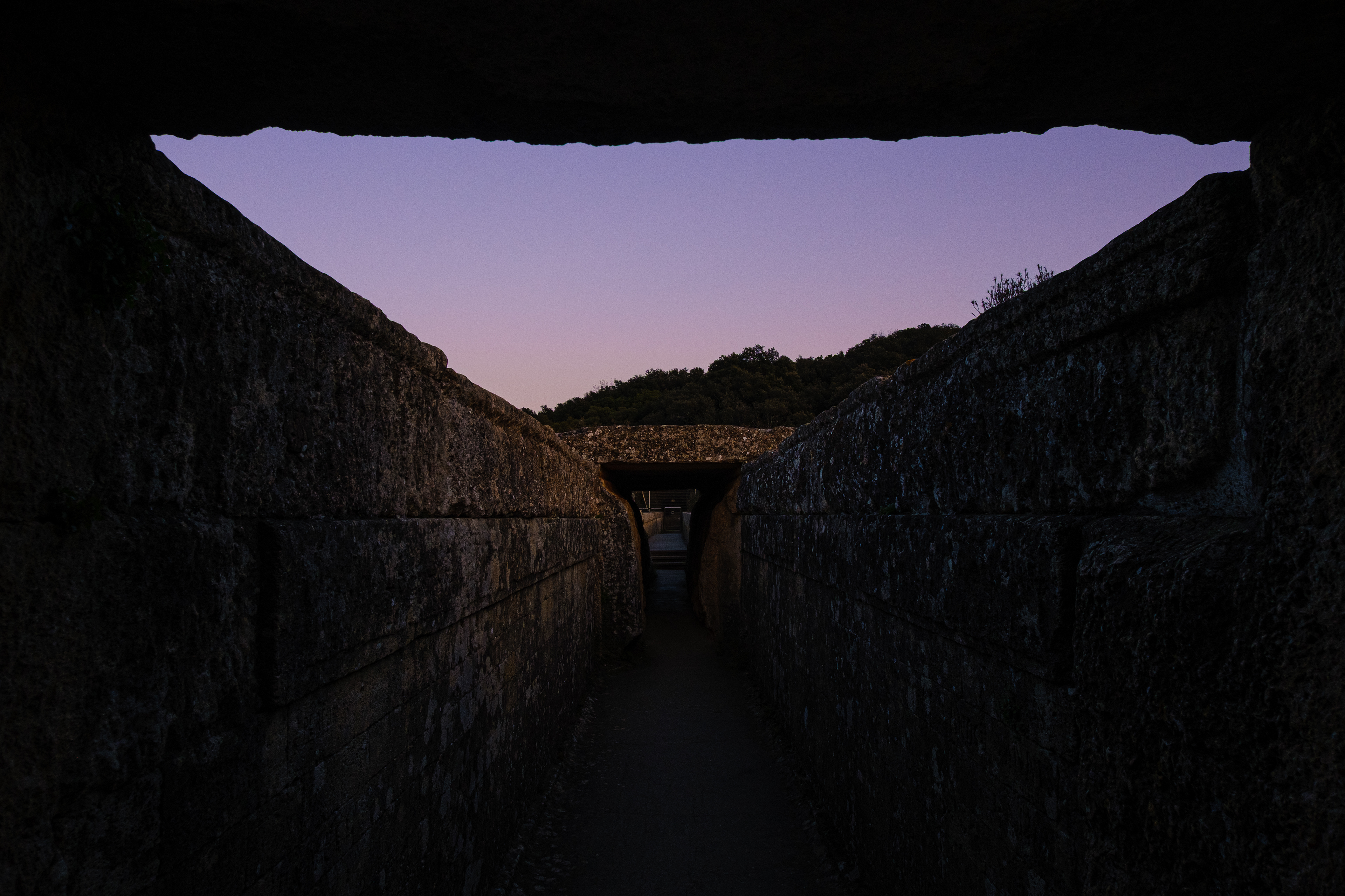
West Entrance to the third and top floor of the Pont du Gard.
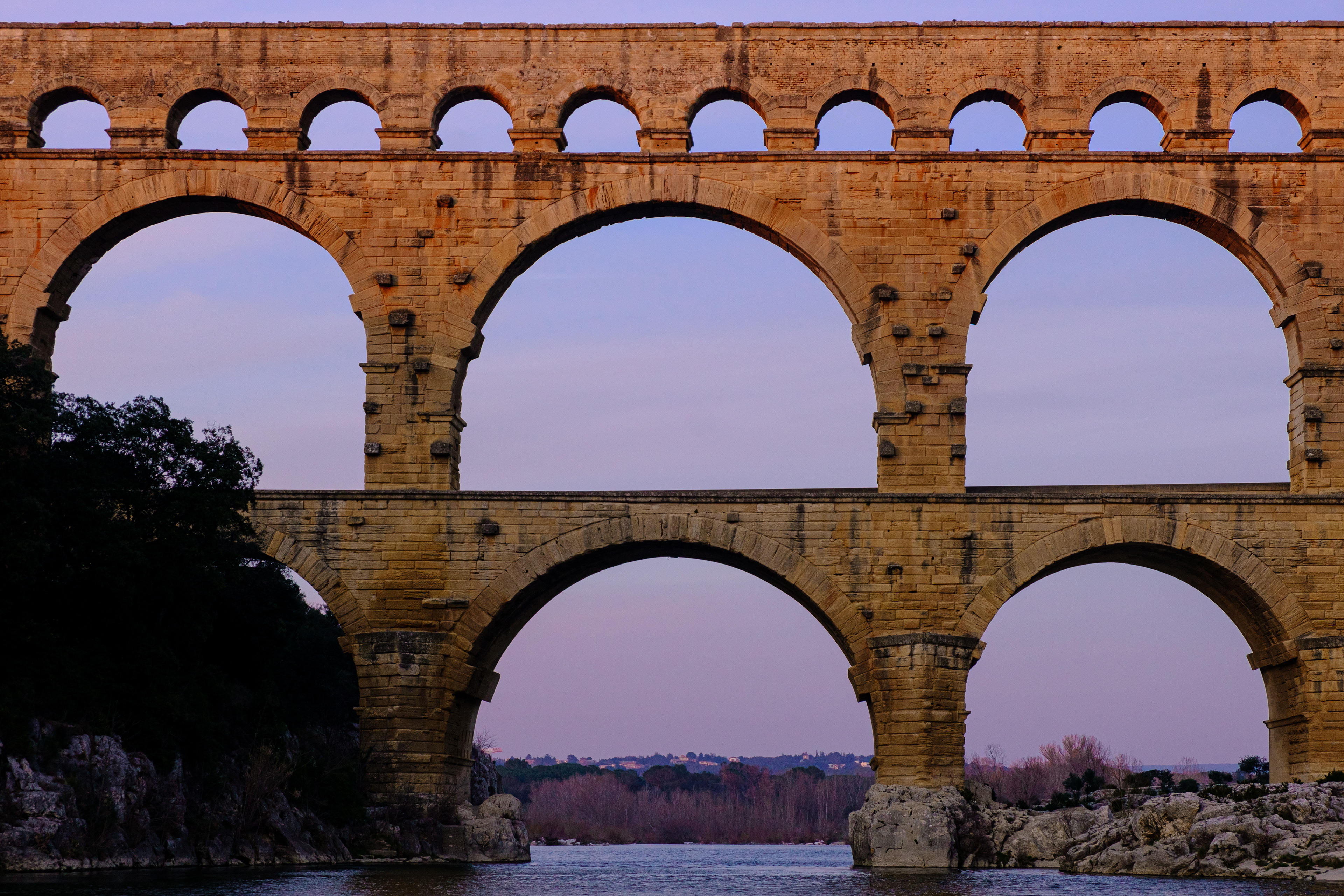
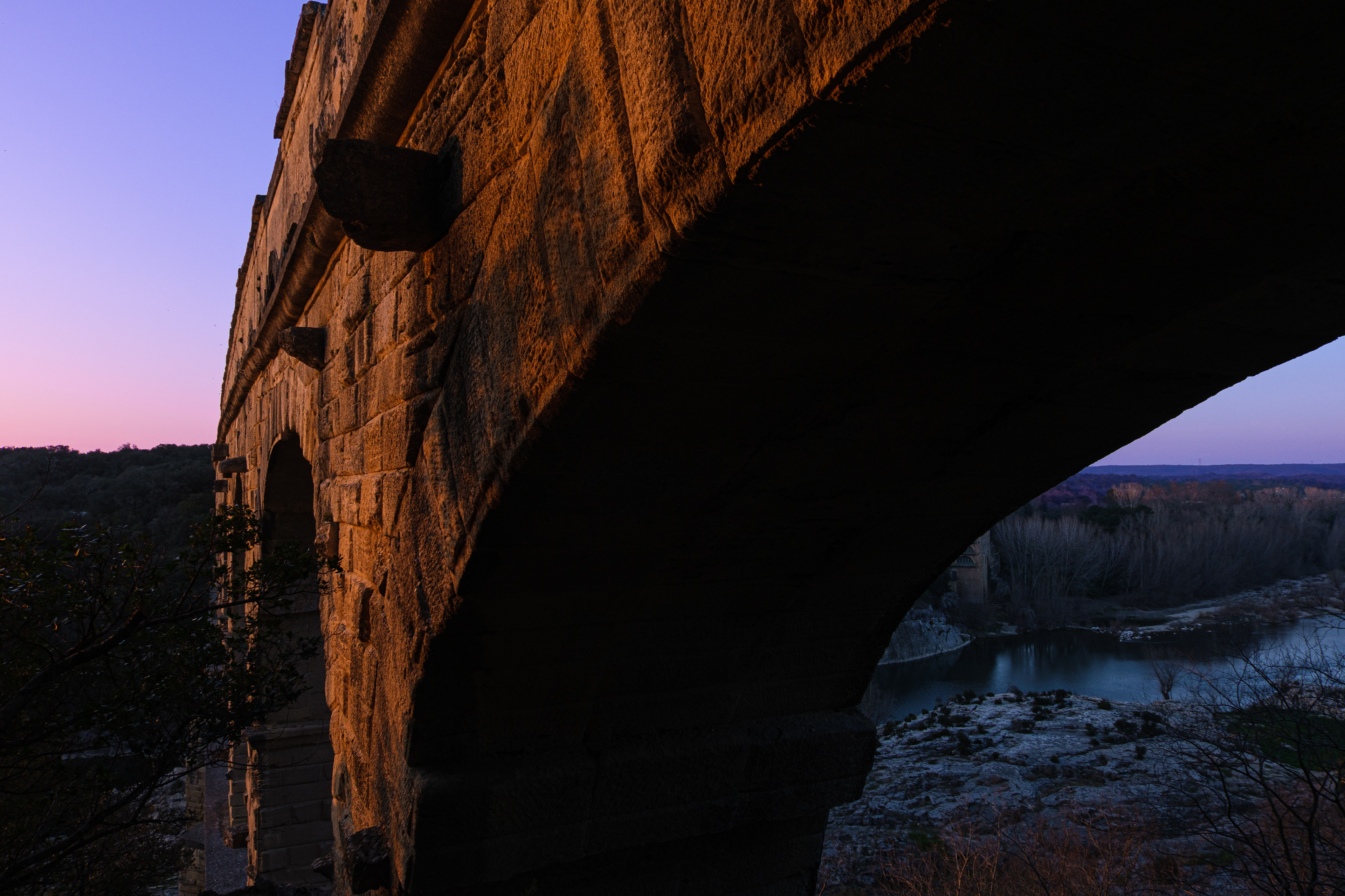
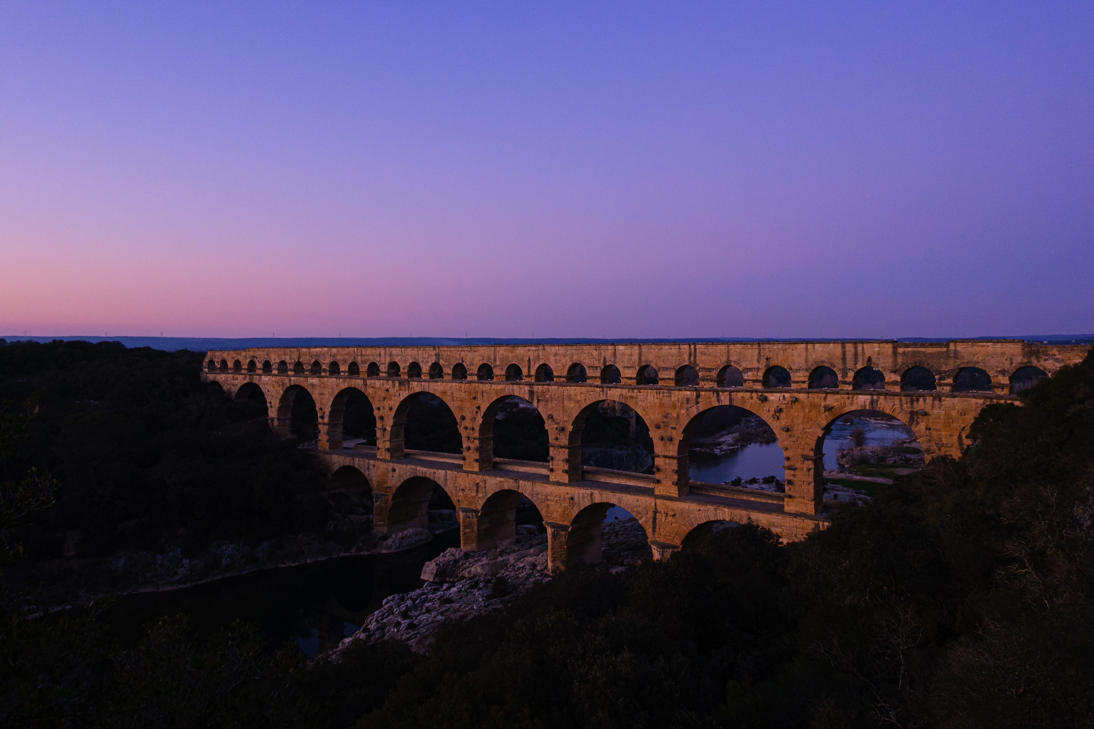
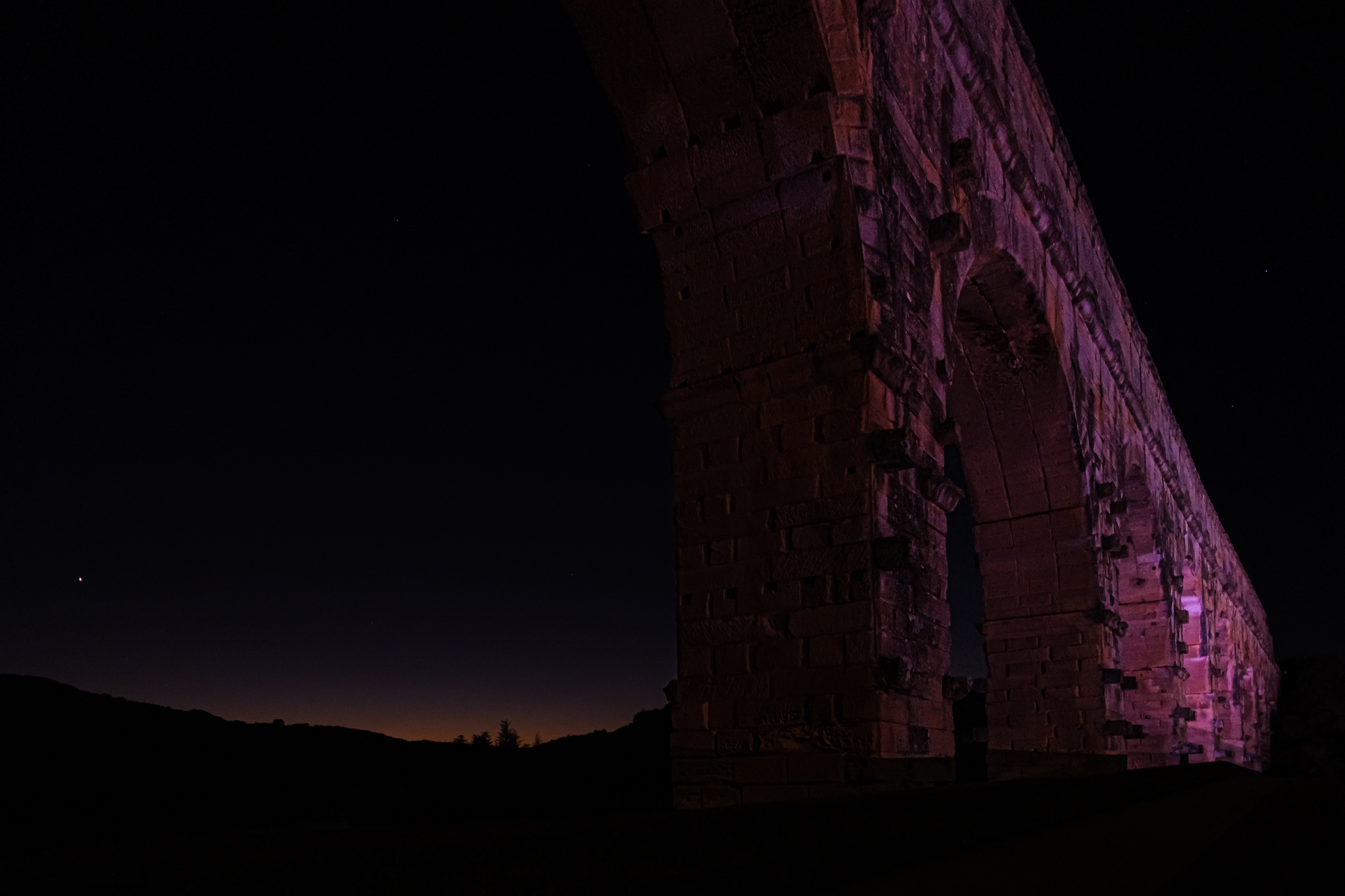
Pont du Gard, East of the Gardon River
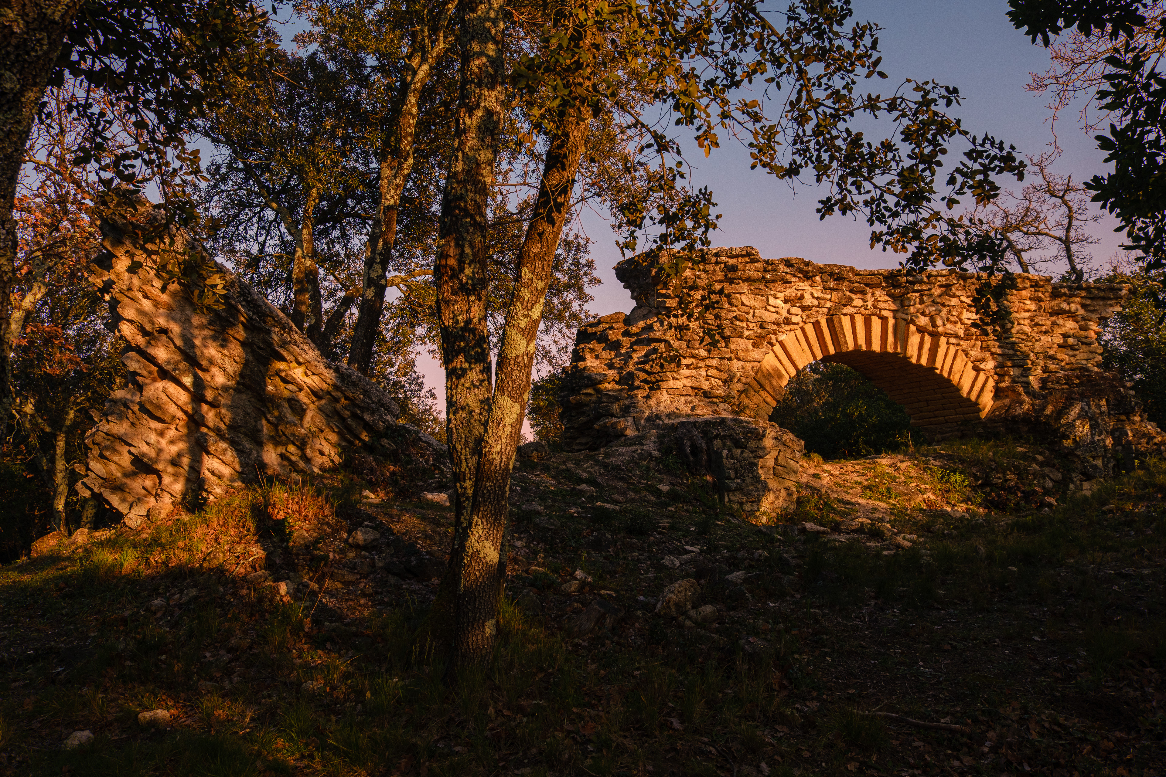
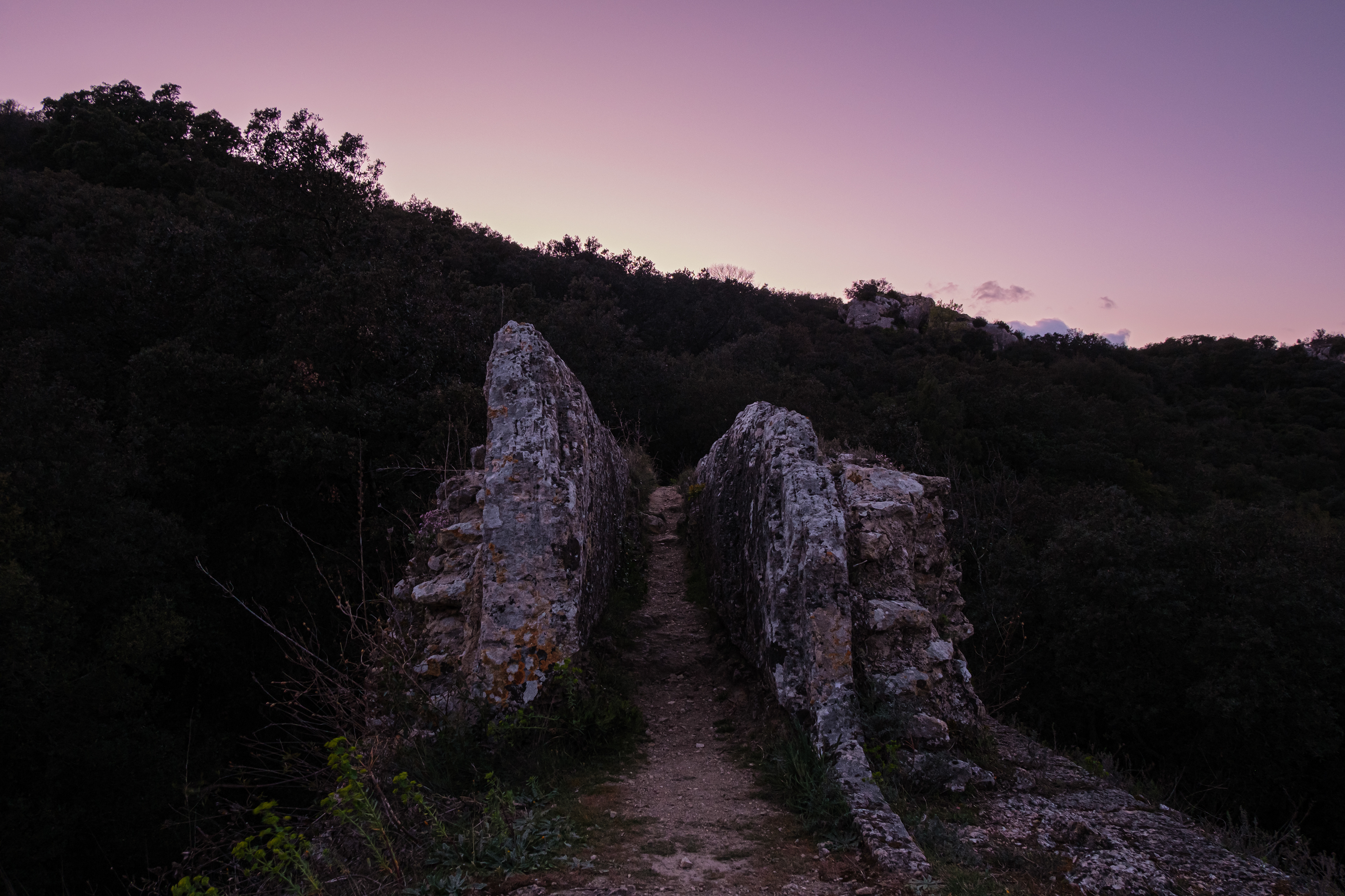
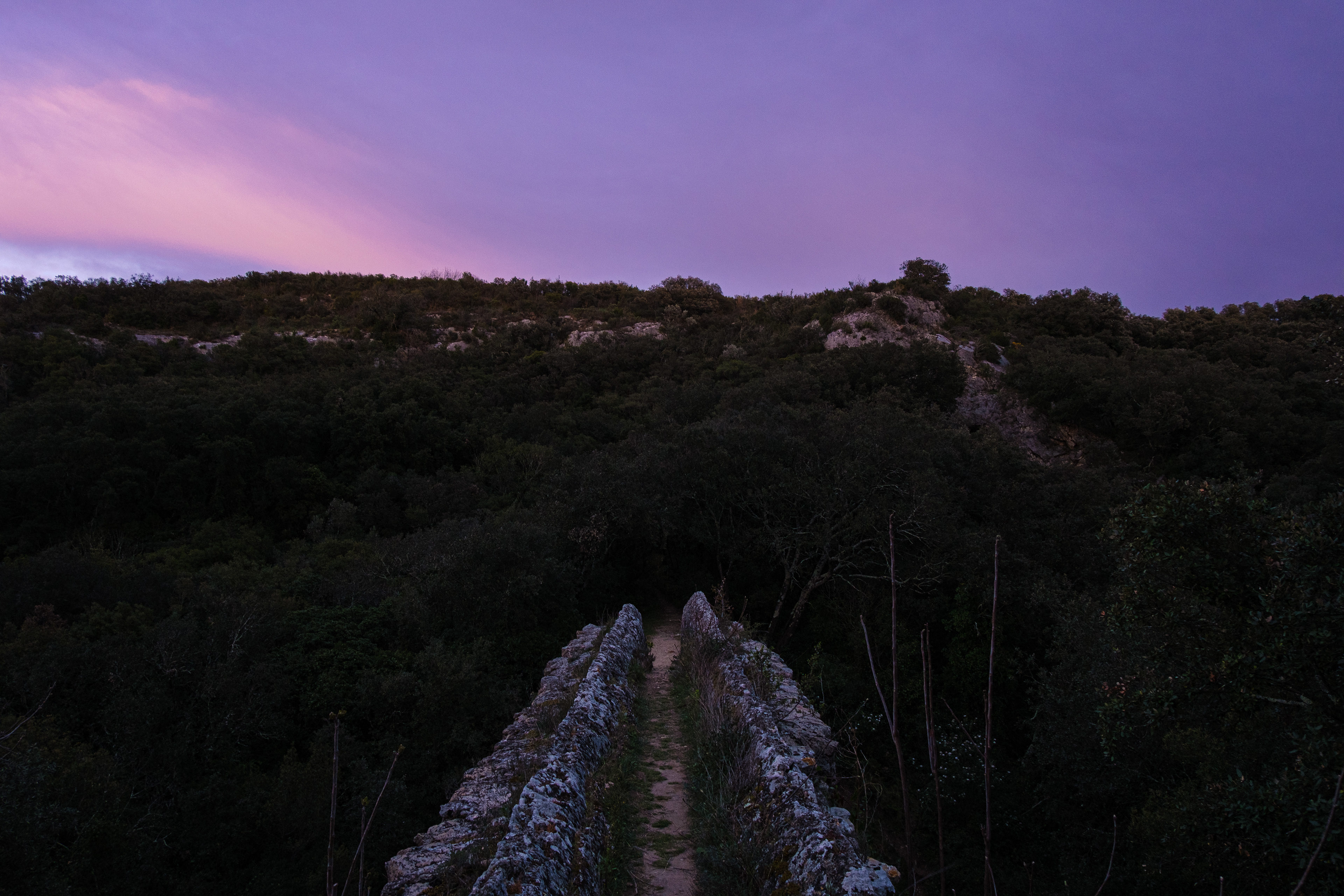
Pont de la Combe Roussière (3). Towards Fontaine d'Eure.
Pont de la Combe Roussière (3). Towards Nîmes.
Pont de la Combe Roussière (3). Left facade of the previous image.
Pont de la Combe Roussière (3). Right facade of the previous image.
Pont de la Sartanette (4). Towards Fontaine d'Eure, the source of the water.
Pont de la Sartanette (4). Towards Nîmes, the destination of the water.
The Reconciliation Bridge is a visual documentation of my explorations:
1. a physical expedition to the ancient Roman aqueduct bridge of Pont du Gard and its surrounding vestiges in the South of France;
2. an emotional and mental foray into horizons, lights, and time as a photographic language; and
3. a spiritual reconciliation of my past-self as a student of art history and present-self as a photographer,
in the same manner a photograph merges the past and the present into a single frame.
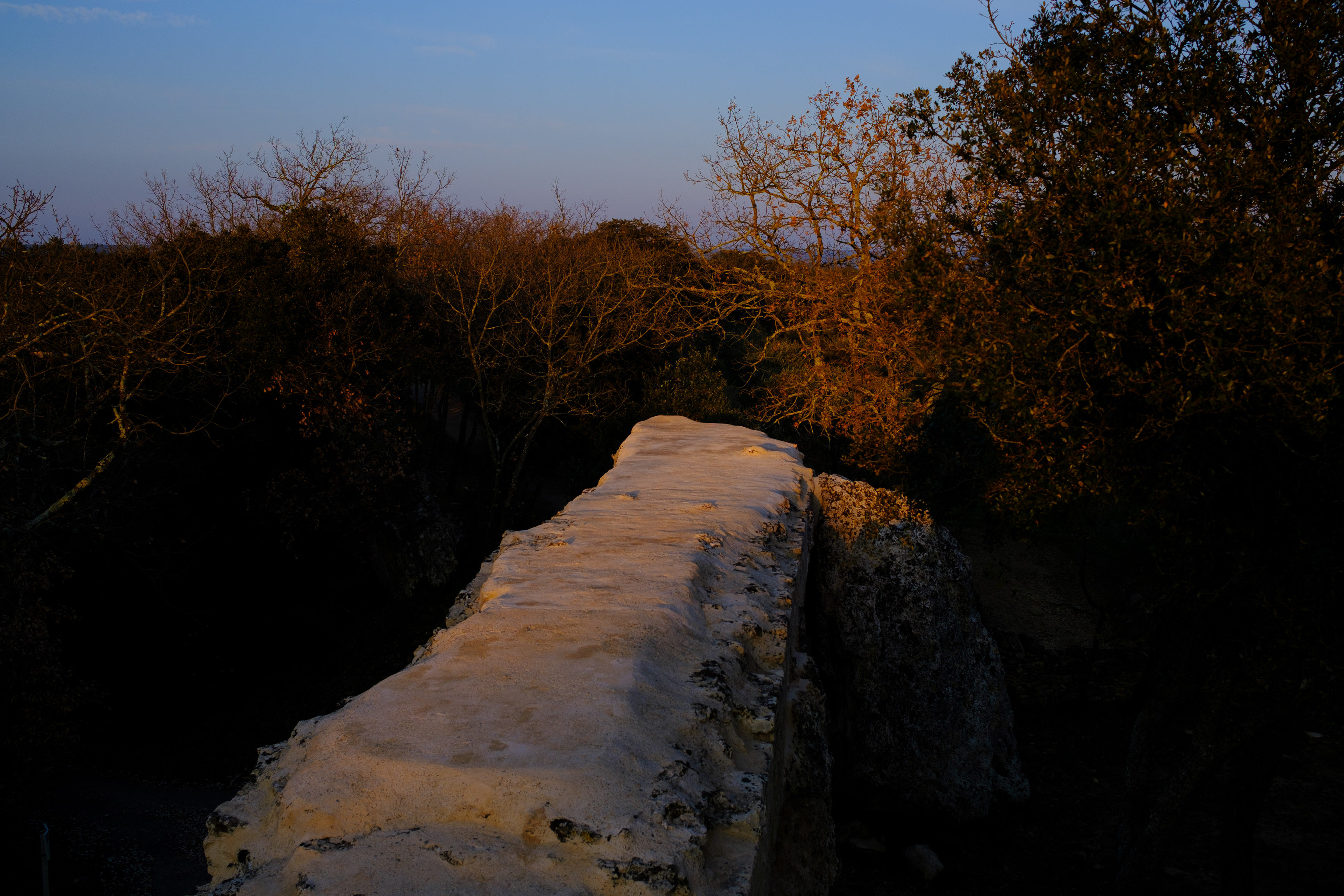
The images are presented in a strictly geographical sequence, channeling the flow of the water as it would have traveled 2 millennia ago.
This project is envisioned as the genesis of a visual catalog of the entire 50 km of the aqueduct.